Digital media
• Navigation-Sytems
• Web-Applications
• Geobrowser/GIS-Server
•
Digital Atlases
• Computergames
• Flight Simulator
• Location based services
|
Television
• 3D - Animations
• Edu-/Infotainment
• Weather-Maps
Printmedia
• Maps / Atlases
• Poster / Large Format Print
• Press |
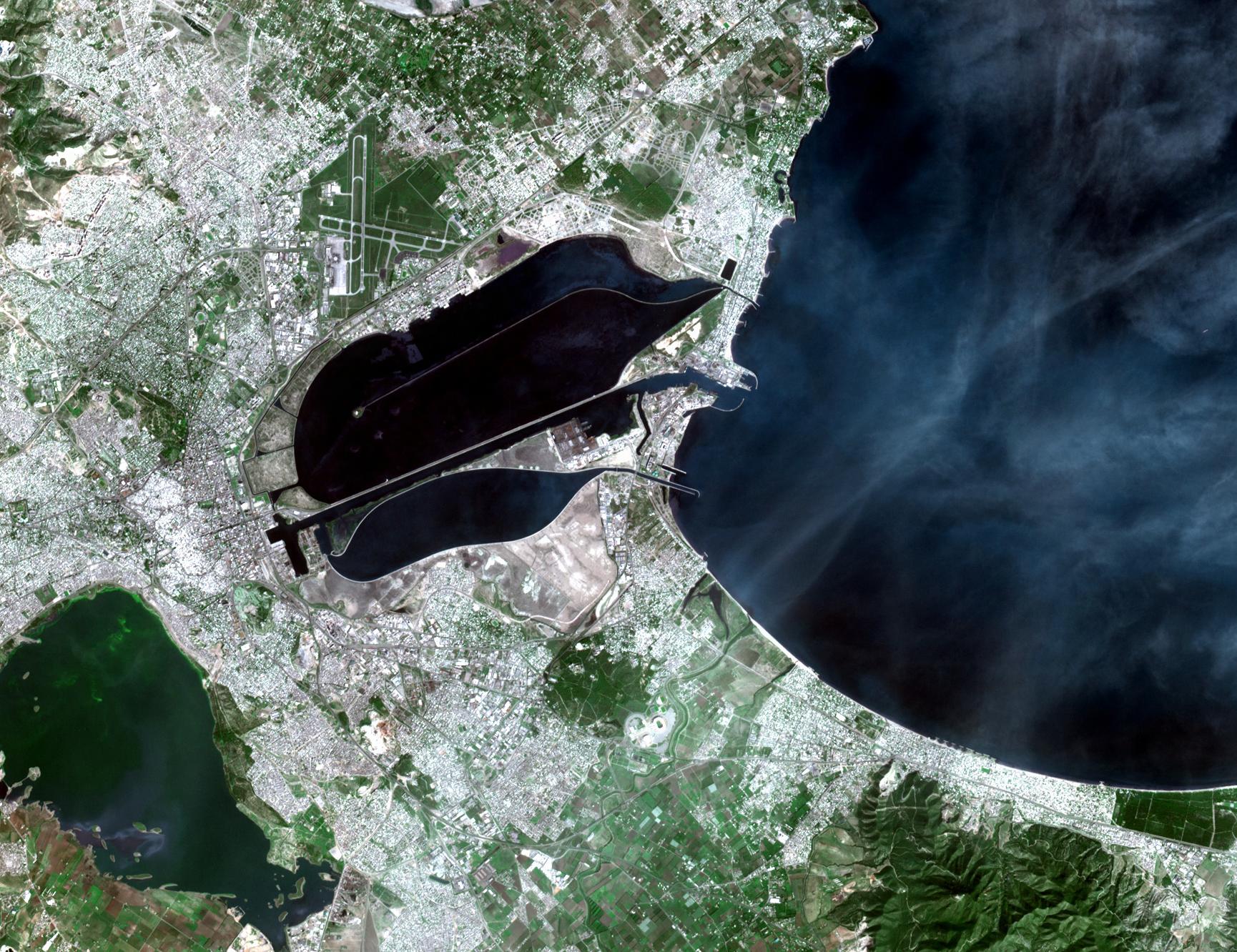
GIS / Remote Sensing
• Cartography
• Surveying and Mapping
• Classification
• Scientific Visualization
|